Cade and I decided to spend the last two days of
our trip visiting swimming holes on one of our favorite California rivers: the
South Yuba. We checked out some new swimming holes near Purdon Crossing yesterday, and we returned to
Lemke’s Lagoon and the Highway 49 area today. I’m not dedicating a separate entry to the latter since I’ve already blogged it and don’t have many new developments, so this entry will mainly focus on our explorations at the Purdon Crossing area.
Since yesterday was a Sunday, we figured all parking areas for the river would be crowded. However, Purdon Crossing seems to be
slightly less popular (which is not saying much) than Edwards Crossing and Highway 49, so we decided it would be better for a weekend. A while back, I had scanned Google Earth and marked nine points of interest (POIs) on the five-mile stretch of river between Purdon Crossing and Edwards Crossing, numbered in order from downstream to upstream. We checked out
POIs 1 and 2 in 2019, and we checked out
POIs 5 and 9 in 2021 (6-8 were on private property, so we were unable to get to them). POIs 3 and 4 were never a high priority, as they didn’t look terribly interesting on Google Earth, but I figured we might as well complete our explorations of this section of the river since we were in the area.
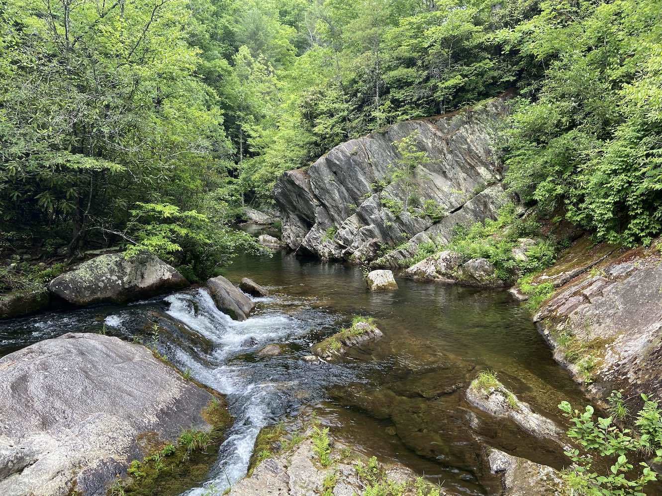
( Click here for the full trip report with pictures and videos )In summary, POIs 3 and 4 upstream of Purdon Crossing didn’t top anything we’d previously seen on this stretch of the river, but they didn’t disappoint, either. Although some South Yuba swimming holes are more exciting than others, I have yet to encounter one that I thought was lame. POI 4 was much larger than 3 and had a little more going on than I assumed from first glance, but it’s also a little less accessible and doesn’t have as many flat lounging rocks that are reachable without swimming. POI 3 was still fairly large with a low jump, and it was more geologically interesting than 4. Even though these two POIs are accessible by trail, they’re still over two miles from either crossing, apparently making them less crowded even on a weekend. Now that I’ve checked out all my (legally accessible) POIs between Purdon and Edwards Crossings, I would say the highlight is POI 1 (China Dam), followed by POI 5, which is the largest and probably receives fewer visitors on account of it being more than a two-mile hike from the road in either direction. POIs 2-4 aren’t necessarily standouts, but they seem to offer a bit more seclusion since the swimming holes closer to the road draw off the exercise-averse crowds. I think it would be fun to tube this entire section of the river on a future trip, which would allow us to legally(?) float through POIs 6-8.
As for the Highway 49 area, it was nice to return there after five years. I would say Lemke’s Lagoon still ranks as one of my top swimming holes on the South Yuba. It was also cool to finally explore the chute swimming hole above Hoyt’s Crossing. It didn’t have any safe jumps, but there were some fun sliding opportunities down the sloped granite bedrock lining the river.
This concludes our
fifth California swimming hole marathon (I hesitate to say “fifth-annual” since we now seem to be in the pattern of doing them every other year). Normally I rank the swimming holes we visited at the end of a trip, but the best ones were places we had already been to, and most of the new ones were bamboozled by less-than-ideal weather and/or hydrological conditions (especially the
Yosemite ones), so I will have to suspend judgement on those until I can pay them proper visits in the future.


