Lost Cove Creek walk
Jun. 14th, 2024 11:59 pm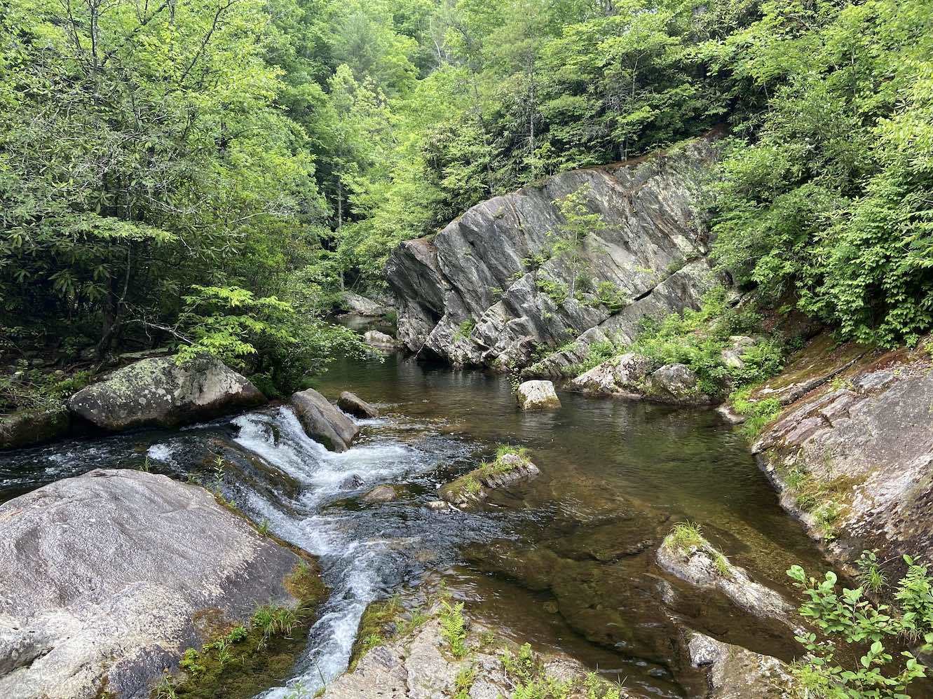 Today, I returned to Lost Cove Creek for the first time since 2015 to explore the area downstream of Hunt Fish Falls. The last time I visited, I did it as part of a combined hike with the waterfalls of Gragg Prong (a tributary whose confluence is a little less than a mile downstream of Hunt Fish) along the Mountains to Sea Trail (MST). I didn’t check out any other areas of Lost Cove Creek because I assumed Hunt Fish Falls was its only point of interest. However, when I was swimming at Gragg Prong on the return hike, a kid mentioned that there was a good slide just downstream of Hunt Fish Falls, so I’ve always been slightly curious to return and check it out. I subsequently looked on Google Earth, and there did appear to be some possible slides between Hunt Fish Falls and the Gragg Prong confluence. A recent kayaking video on YouTube seemed to confirm this, but it’s hard to tell in high water if a slide is hospitable for butt-sliding in summer flows. There was only one way to find out.
I left Raleigh this morning around 10:30 AM and didn’t get to the trailhead until about 2:20 PM. It had been partly cloudy on the way up, but it was now sunny and pretty hot out. The air temperature was 80 °F, but it felt hotter. The trail didn’t seem overly strenuous, but I could tell by the elevation loss and the heat index that I was probably going to get schwetty coming back up. The trail followed a small stream for the second half, and it ended up being the one that cascades over the tall but low-flow waterfall that drops into the Hunt Fish Falls plunge pool from the side.

I reached Hunt Fish Falls around 2:50 PM. I decided to head downstream before taking a dip at the falls. I had marked a starting point for the creek walk on Google Earth, and I noticed a short scramble path to the creek a little way upstream of it. The creek stayed close to the trail downstream of this and didn’t look very eventful. It veered away from the trail and meandered behind some campsites, so I followed a faint creekside path along the back of the camp area until it gave out. I walked a couple hundred feet downstream along the bank until the creek crossed the MST. There was a sizeable pool here that looked potentially deep enough to be a legit swimming hole, but it was uneventful with no vertical elements, so I didn’t get in.

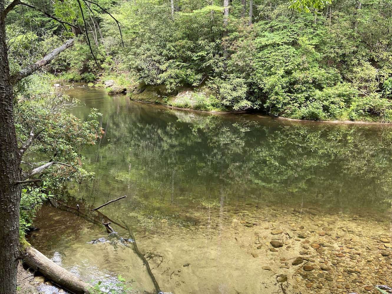
The trail moved away from the creek after the crossing, so I waded downstream about 100 feet to what I had marked as the starting point, but I didn’t find anything interesting. I followed the MST back upstream to the easier entry point and started the creek walk from there. It was an uneventful cobblestone stream at first, but then I came across a pool with a rock ledge about six feet above it.


I snorkeled it, and it was about 8 feet deep in a couple of spots, but not beneath the ledge, so jumping was not an option here. There was another small pool just above this about 6 feet deep.

Just upstream of this was a slide cascade that would have been butt-slideable if not for the gutter-slide rock embankment on the river-right edge of it.
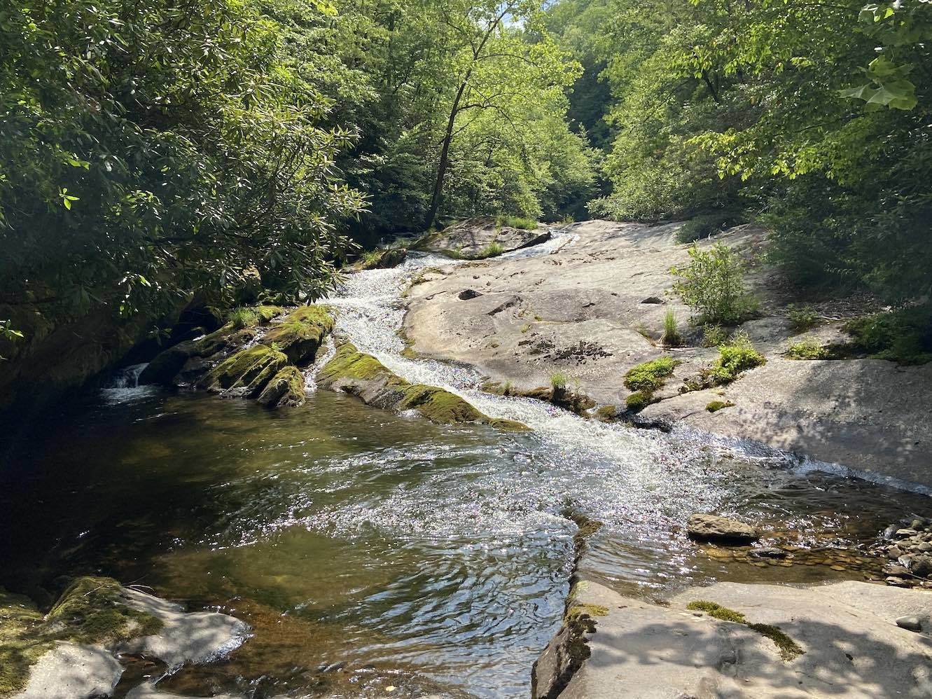

I ran my foot through the slide, and the current was swift enough to push a person through, but the embankment would probably chew up your hip.
Upstream of this, the creek flowed under a cliff about 20 feet high.

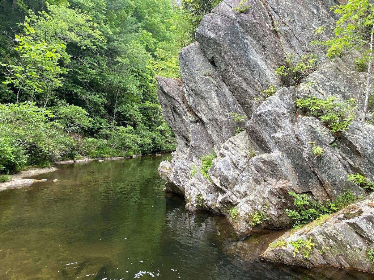
As I put on my mask to snorkel this pool, the sky clouded up and mostly stayed that way for the rest of the day. The pool was about 7-8 feet deep in one small pocket, but it was unfortunately up under the overhanging part of the ledge, so there was no way to jump into it (7 feet is also probably too shallow for jumping off something 20 feet high). There was another cascade at the upstream end of this pool, but it also wasn’t slideable.

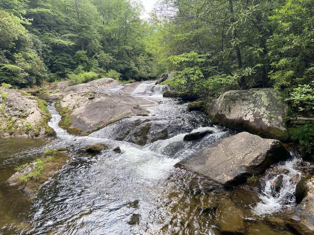
The last significant cascade was the one spilling out of the Hunt Fish Falls plunge pool. It would have made a good slide, except it dropped about 3 feet onto shallowly submerged rocks at the end.
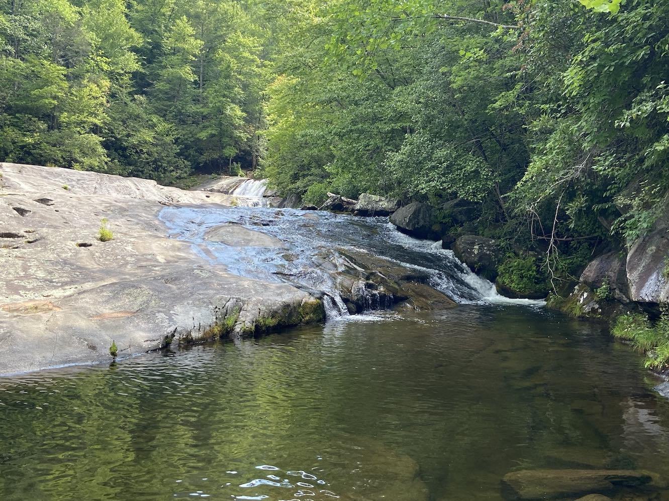
There had been a few people at Hunt Fish Falls when I first arrived, but now I had it to myself.

The water temperature was 67.5 °F. I snorkeled the pool, and I’m not sure why I said it wasn’t deep enough to be over my head in my previous entry, because it was definitely 10-12 feet deep in some areas along the rock slab on the river right. I also saw some coins on the bottom (three pennies and a nickel).
After I had gotten chilly, I decided to hike about a mile upstream and check out a point of interest I had marked on Google Earth. My expectations weren’t high at this point, but I figured it would be good exercise. It took me about 25 minutes to get there. The sun decided to come out while I was hiking and disappear again when I got there. The trail along the creek was mostly flat, but it was very overgrown in some places (it diverges from the MST at Hunt Fish Falls and is apparently less maintained upstream of there), and it crossed the creek three times. The point of interest ended up being at the fourth creek crossing. It was a legit swimming hole about 6-7 feet deep, but nothing remarkable.

I headed back downstream and reached Hunt Fish Falls just before 6 PM. There was now a couple there playing music. I set my Vibrams out to dry while I took one final swim to cool off before hiking out. The couple got into the water and then moved down the creek while I was swimming. I used my diving mask to pour water on the sloped rock slab on the river-right side of the pool and slid down it a couple of times. I then ate a Clif Bar, put my hiking boots back on, and headed out. The hike back up to the car wasn’t bad, but I was pretty warm by the time I got back. It was still about 80 °F out. I drove to Wilksboro and got Sheetz, and then I drove to Greensboro to spend the night.
In summary, I guess Lost Cove Creek is a one hit wonder after all. I didn’t really find anything interesting downstream of Hunt Fish Falls. There were a few small swimming holes, but they were fairly unremarkable. The swimming hole about a mile upstream of Hunt Fish was also nothing interesting. There were three small slide cascades downstream of the falls, but they weren’t suitable for butt-sliding. It’s possible that the kid who mentioned a slide there was referring to the sloped bedrock along the side of the Hunt Fish Falls plunge pool, as opposed to one of the cascades.