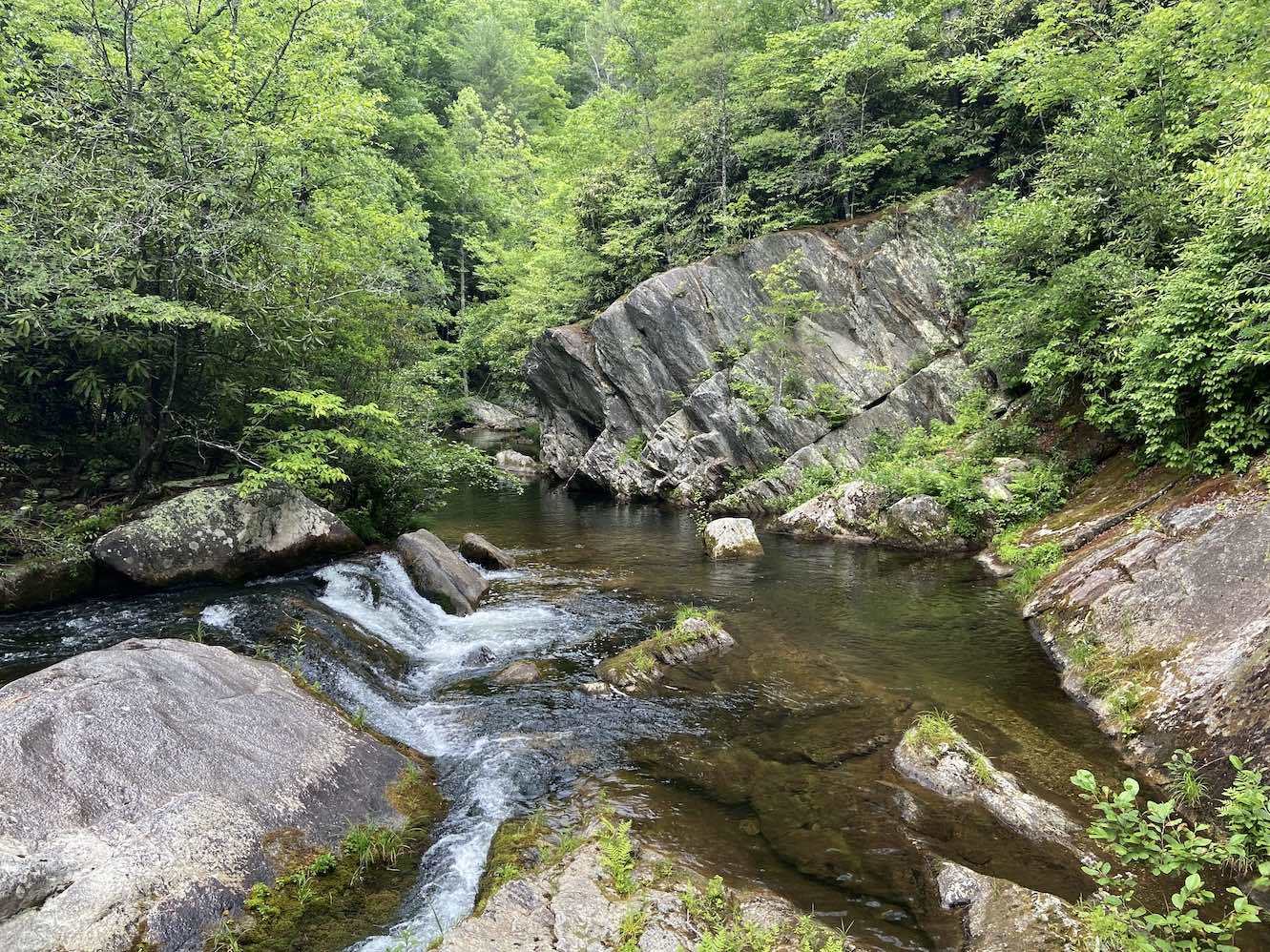
Lost Cove Creek walk
Jun. 14th, 2024 11:59 pm Today, I returned to Lost Cove Creek for the first time since 2015 to explore the area downstream of Hunt Fish Falls. The last time I visited, I did it as part of a combined hike with the waterfalls of Gragg Prong (a tributary whose confluence is a little less than a mile downstream of Hunt Fish) along the Mountains to Sea Trail (MST). I didn’t check out any other areas of Lost Cove Creek because I assumed Hunt Fish Falls was its only point of interest. However, when I was swimming at Gragg Prong on the return hike, a kid mentioned that there was a good slide just downstream of Hunt Fish Falls, so I’ve always been slightly curious to return and check it out. I subsequently looked on Google Earth, and there did appear to be some possible slides between Hunt Fish Falls and the Gragg Prong confluence. A recent kayaking video on YouTube seemed to confirm this, but it’s hard to tell in high water if a slide is hospitable for butt-sliding in summer flows. There was only one way to find out.
( Click here for the full trip report with pictures and videos )
In summary, I guess Lost Cove Creek is a one hit wonder after all. I didn’t really find anything interesting downstream of Hunt Fish Falls. There were a few small swimming holes, but they were fairly unremarkable. The swimming hole about a mile upstream of Hunt Fish was also nothing interesting. There were three small slide cascades downstream of the falls, but they weren’t suitable for butt-sliding. It’s possible that the kid who mentioned a slide there was referring to the sloped bedrock along the side of the Hunt Fish Falls plunge pool, as opposed to one of the cascades.


